


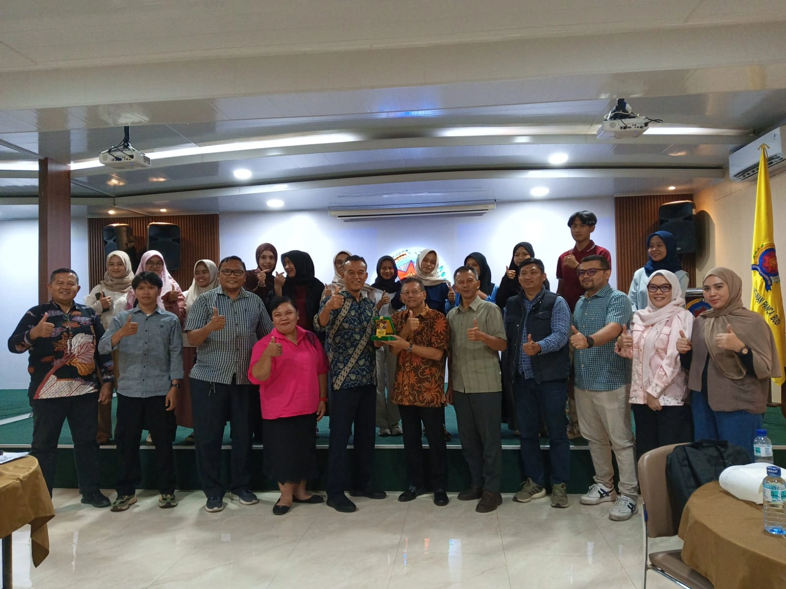
Medan, July 10, 2026 – The Master's Program in Regional and Urban Planning at Universitas Pembangunan Panca Budi (UNPAB), Medan, organized a workshop entitled "The Application of Geographic Information Systems (GIS) in Regional Planning" at the UNPAB campus. The workshop featured Edi Yasa Ardiansyah, S.T., M.T., a lecturer from the Faculty of Engineering, Universitas Sumatera Utara (FT USU), representing the Mining Engineering and Environmental Engineering study programs.
The workshop was officially opened by Dr. Abdi Sugiarto, S.Sos., M.Si., Head of the Master's Program in Regional and Urban Planning at UNPAB. Attended by master's students, the event included presentations, interactive discussions, and hands-on GIS training. These activities provided participants with the opportunity to gain a deeper understanding of how geospatial technology can support data-driven regional planning and development.
The workshop's immediate outcomes included knowledge sharing, academic discussions, and practical experience in using GIS applications. The program is expected to strengthen students' ability to apply geospatial technologies in regional planning and development. However, as no formal learning evaluation results were available, improvements in participants' competencies remain anticipated outcomes rather than measurable results.
The workshop primarily supports SDG 4: Quality Education by enhancing student learning and professional competencies. The application of geospatial technology also aligns with SDG 9: Industry, Innovation and Infrastructure, while its role in regional planning contributes to SDG 11: Sustainable Cities and Communities.
Through its participation in this inter-university academic forum, FT USU reaffirmed its commitment to sharing knowledge, strengthening educational collaboration, and promoting the application of technology in sustainable regional planning.