


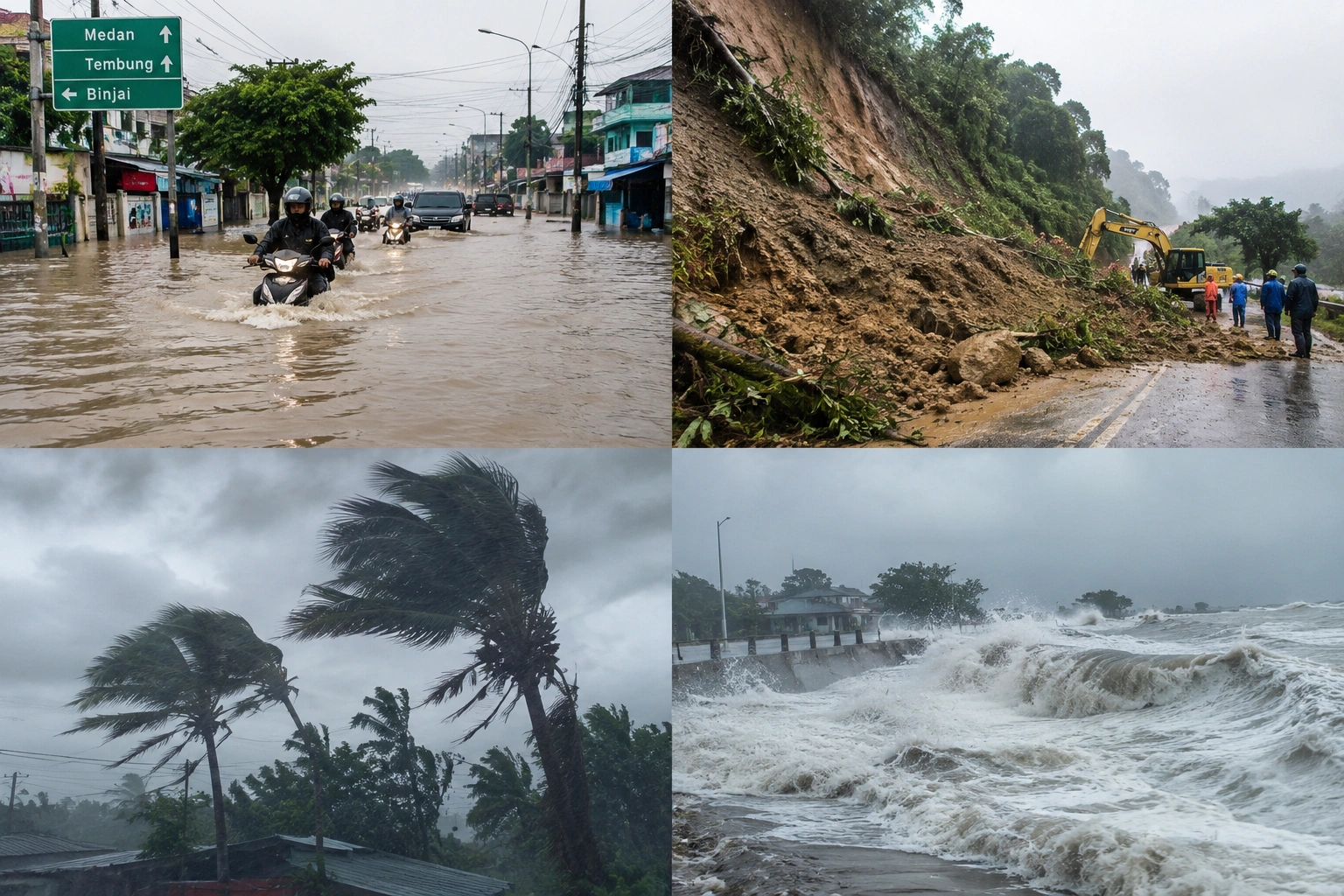
MEDAN, September 12, 2026 | Residents of North Sumatra are urged to step up their vigilance against potential hydrometeorological disasters from late 2026 into early 2027. Heavy rainfall could escalate the risk of floods, flash floods, landslides, strong winds, fallen trees, and flooding, especially in coastal areas.
The warning was delivered by Edi Yasa Ardiansyah, S.T., M.T., a lecturer at the Faculty of Engineering, Universitas Sumatera Utara (USU). According to him, the public should not panic, but rather heighten their preparedness by tracking weather updates from the Meteorology, Climatology, and Geophysics Agency (BMKG).
"Rain itself is not a disaster. However, high-intensity rain, especially over a short period or continuously, can trigger floods and landslides in vulnerable areas," Edi stated.
BMKG data shows that rainfall conditions in North Sumatra vary across regions. In October 2026, most areas—including Medan City, Deli Serdang, Karo, Simalungun, North Tapanuli, South Tapanuli, and Asahan—are predicted to fall under the monthly rainfall category of 100 to 300 millimeters.
Meanwhile, several regions are projected to experience higher rainfall, ranging from 300 to 500 millimeters per month. These areas include North Nias, West Nias, Nias, Gunungsitoli, Langkat, Dairi, Pakpak Bharat, Central Tapanuli, and Humbang Hasundutan.
In November 2026, most of North Sumatra is expected to return to the 100 to 300 millimeter monthly range. However, several areas—such as Dairi, Pakpak Bharat, Central Tapanuli, Humbang Hasundutan, Mandailing Natal, North Nias, West Nias, Nias, and South Nias—are forecasted to reach 300 to 500 millimeters per month.
Edi reminded the public that monthly rainfall figures should not be the sole indicator of disaster risk.
"What matters is not just the total rainfall in a month, but how heavily it falls over a few hours, how long it lasts, the condition of the soil, and the environment's capacity to absorb water," he explained.
For Medan City and low-lying areas, the main threats to watch out for are flooding and inundation caused by heavy rain, limited drainage capacity, and overflowing rivers. Meanwhile, mountainous regions like Karo, Dairi, Pakpak Bharat, Humbang Hasundutan, North Tapanuli, South Tapanuli, and Mandailing Natal need to be more alert to landslides and flash floods.
Coastal areas such as Belawan, Deli Serdang, Serdang Bedagai, Langkat, Batubara, and Asahan also need to pay attention to potential coastal flooding, high tides, strong winds, and high waves.
According to Edi, the public must shift their mindset from waiting for a disaster to taking action before it happens.
"When BMKG issues an early warning, people must act immediately. Clean out drainages, secure important documents, avoid high-risk areas, monitor river conditions, and know your evacuation routes," he said.
He added that universities also play a crucial role in supporting the government through information dissemination, research, risk mapping, flood and landslide modeling, as well as the development of early warning systems.
"We cannot stop the rain, but we can reduce its impact through science, technology, and community preparedness," Edi emphasized.
North Sumatra residents are advised to remain calm yet vigilant. Know the risks, stay updated on BMKG announcements, prepare your family, and take action before disaster strikes.