This activity was guided by instructors from the Medan Drone Community. Several topics were taught, including:
Introduction to various types of drones
1. Assembled Drone (owned by DTS students)
2. Spark Drone (owned by DTS alumnus, Dhani Aprisal Ritonga)
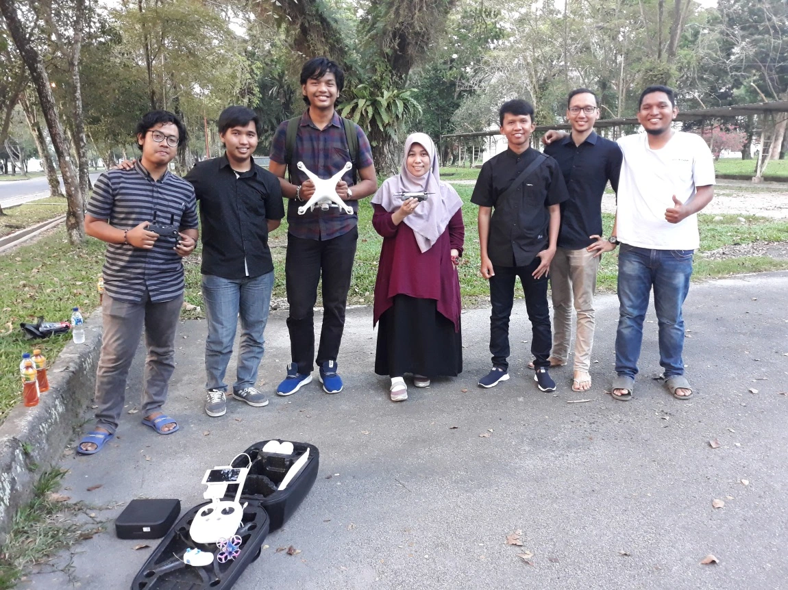
3. Phantom 4 Pro Drone (owned by USU Faculty of Engineering)
Mapping using drones has become very popular recently. One device that is highly capable for mapping is the DJI Phantom 4 Pro. This drone is one of the types of drones favored by many. This is due to the built-in layer embedded in the remote control, so drone users no longer need to use a mobile phone or other additional devices.
Introduction to Applications for Mapping
Mobile applications are commonly used for mapping. These applications are installed on mobile devices. One of them is DJI Go 4. We used this application during the drone learning process.
Stages of drone flight
Discussion about conditions when flying a drone (things to pay attention to)