


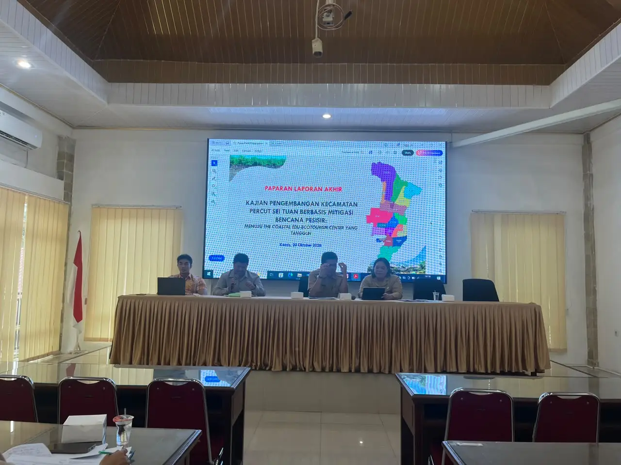
LUBUK PAKAM – October 20, 2026. The academic community of the Faculty of Engineering USU continues to strengthen its role in assisting local governments in formulating knowledge-based development policies. Through scientific collaboration between Dr. Anthoni Veery Mardianta, S.T., M.T., from the Urban and Regional Planning Study Program and Dr. Ir. Ar. Achmad Delianur Nasution, S.T., M. T., from the Architecture Study Program, the team of FT USU academics accompanied the preparation of the Percut Sei Tuan District development plan document, which focuses on coastal disaster mitigation and the spatial arrangement of the priority area, the Coastal Edu-EcoTourism Center.
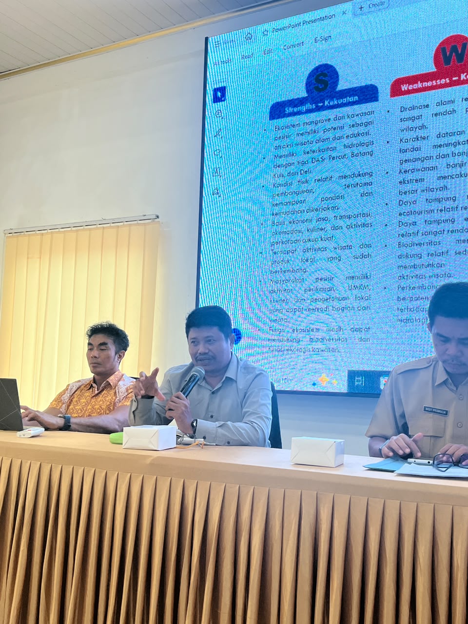
The event was officially opened by the Secretary of Bappedalitbang Deli Serdang Regency, Sigit Pramulia, S.T., M.Ec.Dev., and led by the Head of Research and Development (Litbang) Division of Bappedalitbang Deli Serdang Regency, Heriani Sembiring, S.E., M.Eng. The strategic forum held to follow up on Minister of Home Affairs Regulation (Permendagri) Number 17 of 2016 was also attended by various technical Regional Device Organizations (OPD), ranging from the Housing and Spatial Planning Office, Environmental Office, BPBD, Office of Culture, Youth, Sports, and Tourism, and other OPDs to representatives from Percut Sei Tuan District.
In terms of regional planning review, Dr. Anthoni Veery Mardianta, S.T., M.T. mapped the strategic position of Percut Sei Tuan as an urban–coastal transition zone. However, this 18,994.16-hectare region, which is hydrologically connected to the Percut, Batang Kuis, and Deli watersheds, faces natural drainage challenges,ges with low natural drainage across 82.6% of its area, making it vulnerable to upstream flooding, tidal floods, and abrasion. To address these challenges, the macro spatial layout of the area is divided into a Conservation Area covering 5,364.71 hectares (28.2%) and a Cultivation Area covering 13,629.45 hectares (71.8%).
This spatial arrangement is translated into a cross-sectoral indication of programs for 2027–2036, covering mangrove ecosystem restoration, protection of sustainable food agricultural land (LP2B), strengthening aquaculture, developing industrial areas and urban regeneration, as well as improving road connectivity and public transportation. From a disaster resilience and environmental perspective, programs include the installation of tidal flood and tsunami Early Warning System (EWS) towers in Percut and Tanjung Rejo Villages, construction of adaptive coastal dikes, automatic floodgates, macro retention basins, and the provision of Integrated Waste Processing Sites (TPST) and trash barriers along river streams.
Moving from this macro framework, the assistance specifically highlights the master plan design of the priority coastal ecotourism site (specifically the Paluh Getah Mangrove Beach corridor in Percut Village and Paluh Merbau in Tanjung Rejo Village) directed by Dr. Ir. Ar. Achmad Delianur Nasution, S.T., M.T.
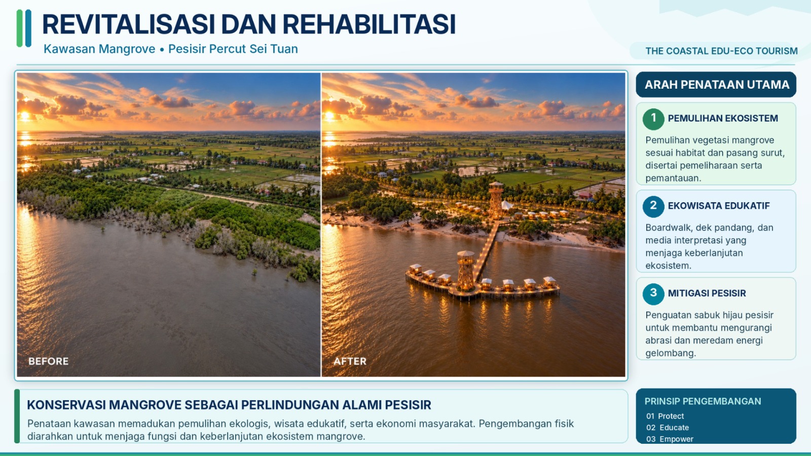
Based on the principles of Protect, Educate, and Empower, the coastal site master plan is divided into three functional blocks:
1. Block A focuses on the construction of the Mangrove Tourism Center as an orientation and education hub, area gateway, and spatial arrangement for culinary centers and MSME kiosks for coastal products. This community commercial area is designed with a light vernacular architectural approach using natural materials, combined with inclusive pedestrian paths and attractive streetscape lighting.
2. Block B is designated as a low-impact ecological tourism zone through the construction of mangrove boardwalk paths and viewing towers (viewing tower and bird-watching tower) that adapt to sea tides, tourism jetties, and an Inter-Village Coastal Cycling Network.
3. Block C is designated as an absolute conservation zone for mangrove rehabilitation and the construction of a coastal green belt as a natural shield against erosion.
This assistance also opens up opportunities for sustainable collaboration and community service for LPPM USU as a partner of the regional government in guiding disaster preparedness education for the community, particularly elementary/junior high school students across Percut Sei Tuan District, developing migratory bird observation areas (Bird Watching), and realizing the Mangrove Tourism Center.